 Ready
Ready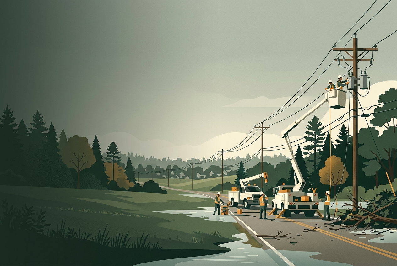
Daily Briefing: Isaias Remnants Linger in the Southeast; Rachel Soaks Utah
Post-tropical Isaias has moved through the Gulf Coast and Southeast, leaving deaths, hundreds of thousands without power, and continued flooding in western North Carolina. Rachel's remnants are bringing heavy rain and strong wind to Utah. Here are current situations and household steps.
Isaias aftermath: four deaths and widespread outages across the Gulf Coast and Southeast
What’s reported: CNBC reports Hurricane Isaias made landfall in Florida early Saturday as a Category 2 storm and has since weakened to a post-tropical cyclone. Four people died, two from trees falling on homes. As of midday Saturday, about 420,000 customers in Florida, 190,000 in Alabama, 43,000 in Georgia and 17,000 in Mississippi were without power. Florida Gov. DeSantis said about 16,000 linemen were staged for restoration. The National Hurricane Center warned of continued tornado risk across the Florida Panhandle, Georgia and the Carolinas. Pensacola reported drinking water shortages and airport damage. ALDOT reported crews clearing debris and downed lines, with some South Alabama roads still affected.
What it may mean for households: This is an ongoing recovery, not a new landfall. Power restoration can take days where damage is heavy, and post-storm hazards like downed lines and debris remain dangerous.
One practical step: If you are in an affected area, stay away from downed power lines, do not drive around barricades or through water of unknown depth, and watch for cleanup crews. If local water is affected, follow official notices.
Sources: Isaias kills four and leaves about 670,000 without power after landfall · Statewide updates for Hurricane Isaias ·
Isaias remnants bring flooding and high wind to western North Carolina
Single-source report — not independently confirmed.
What’s reported: WLOS reports that remnants of Isaias brought heavy rain, gusty winds and power outages to western North Carolina over the weekend. Flood watches covered counties including Buncombe, Henderson, McDowell, Polk and Rutherford, with flash flood warnings issued for some areas overnight into Sunday. McDowell County reported flash flooding and a landslide on NC-226A. Rutherford County activated flood sirens near Chimney Rock and Lake Lure. A High Wind Warning for mountains above 3,500 feet ran until 8 a.m. Sunday with gusts up to 60 mph. Duke Energy crews were working to restore power, and several counties opened emergency shelters.
What it may mean for households: Saturated ground and swollen creeks keep flooding and landslide risk elevated even after rain eases. This is a continuing local situation in the mountains.
One practical step: In affected areas, avoid flooded low-water crossings, heed evacuation and road-barricade instructions, and report outages to your utility. Keep devices charged and have more than one way to get alerts.
Sources: Western NC counties respond to impacts from Isaias’ remnants ·
Rachel's remnants prompt flood watches and wind advisories across Utah
Single-source report — not independently confirmed.
What’s reported: KSL reports the National Weather Service issued flood watches and wind advisories statewide ahead of the remnants of Tropical Storm Rachel. Most valleys may see 1 to 2 inches of rain, with 2 to 4 inches possible from late Saturday into Monday and higher mountain totals, locally up to 6 to 8 inches on some slopes. Flash flooding risk is elevated at southern and central Utah parks and recreation areas, especially southwest Utah Sunday. Wind gusts of 55 to 60 mph are possible, potentially exceeding 70 mph in central and southern Utah, raising the risk of downed trees and power outages. An isolated tornado threat is possible in the south.
What it may mean for households: A weakening Pacific system can still deliver damaging wind and flash flooding, particularly in canyons and recreation areas. Impacts depend on the storm's track.
One practical step: If you are in Utah's higher-risk areas, avoid backcountry and park flood zones during the peak, secure loose outdoor items, and be ready for possible outages.
Sources: Flood watches, wind advisories issued throughout Utah ahead of Rachel's arrival ·
Today’s takeaway: If you are in a storm-affected area, treat downed lines as live, avoid flooded roads, and expect slow power restoration. Elsewhere, these events are useful reminders to check your outage and flood readiness.
Sources & editorial note
AI assists research and drafting. Reported developments are attributed to the sources below; household implications are ReadyGuidance analysis. This is not a live emergency alert. Verify local conditions and follow official instructions.
- Statewide updates for Hurricane Isaias
Source timestamp: 2026-10-09T18:25:27.000Z - Flood watches, wind advisories issued throughout Utah ahead of Rachel's arrival
Source timestamp: 2026-10-10T00:45:49.000Z - Isaias kills four and leaves about 670,000 without power after landfall
Source timestamp: 2026-10-10T06:46:27.000Z - Western NC counties respond to impacts from Isaias’ remnants
Source timestamp: 2026-10-10T20:10:37.000Z
Spot an error? Contact us. Material corrections are noted on this edition.